John Williams, Treasures of Nhill & District Facebook page, Nhill Free Press & Kaniva Times
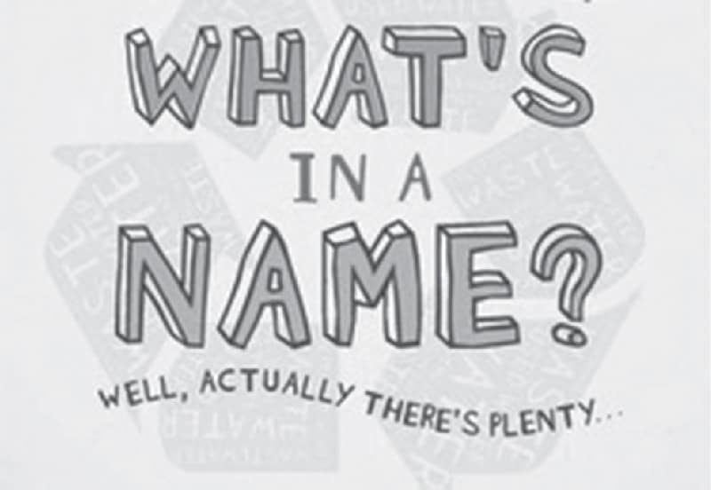
There are over 15 thousand names of towns, suburbs and regions in Australia.
Below is a list of place names in the Nhill region along with an explanation of how they were christened by European settlers.
Albacutya: Farming district south of Lake Albacutya. Aboriginal for sour quandong.
Balrootan: Balrootan North is rural district 8km northeast from Nhill; Aboriginal name of tribal chief meaning scrub country.
Berontha: North of Yanac. Aboriginal word for crow.
Bleak House: North of Diapur. Named after houses erected by the Hensleys about 1880 on part of Mt Elgin station; name recalls Dicken’s novel.
Boyeo: Farming district 16km northwest of Nhill ; Aboriginal bo-ye, ghost or fearsome object; earlier called Boyeo Well. An egg.
Broughton: North of Kaniva; named after Ellen Broughton in 1888.
Dahlenburgs Mill: Track and waterhole are in the Little Desert National Park, south of Nhill.
Detpa: Rural locality southeast of Lake Hindmarsh; Aboriginal word for wait or stay.# wait, or stop a bit.
Diapur: Township 19km west of Nhill; in 1850 locality called Diaper (or Diapar) Spring; Aboriginal diapur, crabhole or swamp.
Gerang: Formerly Gerang Gerung; Railway Station named Gerang 1904; Aboriginal jerang, leaf or branch.
Goroke: Agricultural town south of the Little Desert; from Aboriginal word for magpie.
Haycrofts: Site of the memorial at the site of John Shaw Neilson’s home at Dow Well near Nhill.
Kiata: Rural centre east of Nhill; from the Aboriginal word for summer heat.
Kinimakatka: Farming district 14km southwest from Nhill. Name of Aboriginal tribal leader’s son; but note werringinkatka witch doctor, which seems more likely. White cockatoos in the swamp.
Lake Hindmarsh: Northwest of Jeparit; discovered in 1838 by explorer Edward John Eyre who named it after the Governor of South Australia.
Lawloit: Rural locality east of Kaniva; from the Aboriginal word for swamp or place of good water; however Michael Meagher claimed he named his Lawloit Hotel in 1860 after his native parish in Tipperary County in Ireland; also spelt Lowloit (1860)
Little Desert: Extends approximately from the S.A. border to south of Dimboola, and lies south of the Western Hwy; actually scrubland, famous for wildflowers.
Lorquon: Rural agricultural township 30km north of Nhill; from the Aboriginal bachin baquon, large crabhole; from baquon comes lour-guan, waterhole. Lour-quan, name of waterhole. Original name Lour-Quan.
Mount Elgin: Slight rise, west of Nhill, on the Wimmera Plains; James Smith in 1848 named the station after Elgin on Moray Forth in Scotland.
Miram: Farming district northeast of Kaniva; the full name is Miram Piram but shortened for railway station purposes in 1904. Aboriginal word for branch of a tree.
Netherby: Agricultural township and district 29km north of Nhill; name was Warraquil until 1887 when the schoolteacher Thomas Price suggested that postal confusion with Warragul could be avoided by naming the settlement named after the locality northeast of Gretna Green in Scotland.
Nhill: Municipal township. Name origin”¦ where do you start. Aboriginal niall, name of group in Tyatyalla tribe also given to corroboree ground (Nhill Swamp) where the tribe met. Dugald Macpherson named the farming station in March 1849 as Nyill (pronounced Enyill). Shire Engineer St Eloy D’Alton defined this as a pegging place for skins; as name also spelt Nil, Gnil, Nihl, Nihill, and Nyell various other meanings have been given, including mist over the water, red clay, and nothing. Note also that Ann Nihil owned Stawell’s Reefs Hotel in 1866. District known in South Australia in 1850s as Melbourne Swamps. Nyell, abode of evil spirits. Variously meaning ‘place of spirits’, ‘red clay’ and ‘mist over the water’.
Propodollah: Farming district northwest of Nhill; name of a district well, then of an outstation on the Nhill run during the 1860s. Two archaic words have been used, viz proper, (my) own, and dahlr, hollow or vale.
Salisbury: Rural locality east of Nhill, named after Salisbury Plain in Wiltshire, England also called Kiata West.
Tarranginnie: Farming district west of Nhill. Aboriginal word for man with sore feet. In the early years Tarranginnie was often called ‘Pleasant View’.
Winiam: Rural area south of Nhill; Aboriginal Winiamwiniam, name of the eldest son of the Nhill tribal chief.
Woorak (Woorack): Farming district northeast of Nhill former township; Aboriginal woorack, plain country, or wooruk, mouth. A plain, level country; honey-suckle tree or banksia, a net bag carried on the back.
Yanac (Yanac-a-Yanac): Rural locality northwest of Nhill. Aboriginal word for bats flying at night, or yanacka, come on, move on, walk.
This article appeared in the Nhill Free Press & Kaniva Times, 5 June 2024.
