Sebastian Calderon, Murray Pioneer
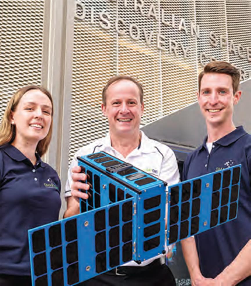
A new satellite built by South Australian-based companies will aim to deliver critical space data for use by government and research institutions, including data covering the Riverland, particularly in the areas of sustainability and climate impacts.
The State Government-funded satellite Kanyini was successfully launched into orbit last week onboard a SpaceX rocket, being the first of its kind in Australia, built by SA-based companies – SmartSat, Inovor and Myriota.
“The launch of Kanyini is a significant milestone and pivotal step forward for South Australia’s space sector, setting us up for further success on a global stage,” Minister for Defence and Space Industries Stephen Mullighan said.
“We are excited for Kanyini to unlock more opportunities for research and development of innovative, sovereign Australian space technologies.”
Kanyini is a six-unit CubeSat, roughly the size of a shoebox and weighing about 12kg that has been integrated with the latest technology for data transfer capability.
SmartSat CRC chief executive officer Andy Koronios said Kanyini was a huge leap for South Australia’s space sector.
“The Kanyini mission is not just about sending a satellite into space; it’s about building South Australia’s capabilities and contributing valuable data for applications that enhance our lives here in South Australia,” Mr Koronios said.
“We have now realised our mission of seeing home-grown South Australian space technologies launched into low Earth orbit.”
The collected data will cover weather events, rainfall and information to help early bushfire detection, with technology that can detect fires from orbit 500 times faster than actual processing.
A key element in the satellite is the HyperScout 2 Flight Model hyperspectral imager, providing detailed images of the Earth, with high-level data processing and artificial intelligence (AI) capabilities.
With the satellite now in space Mr Koronios said “the coming months will be crucial as the team works to fully operationalise Kanyini and begin reaping the benefits of its data-gathering capabilities.”
Images and information gathered will support active and future research on crop health, forestry and water management aimed to improve accuracy on existing natural disaster prediction models used in landslides and flooding.
The $6.5m mission has helped to improve the hi-tech industry in the state’s space sector.
The next milestone for Kanyini is to establish stable communications with its operation centre.
For more information about Kanyini and its journey, visit the website (https://www.saspacemission.com.au/meet-the-satellite).
This article appeared in the Murray Pioneer, 28 August 2024.
