
The Honorable Keith Pitt MP, Minister for Resources and Water, Media Release, 28 October 2021
Minister for Resources and Water Keith Pitt says our resources exploration industry can now access another world-leading dataset, revealing exciting new prospective regions across more than one million square kilometres of northern Australia.
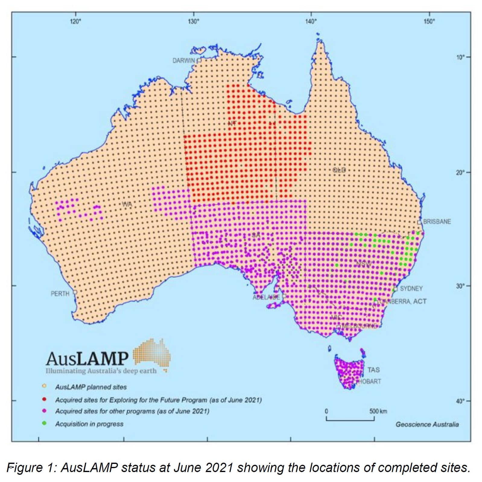
The Australian Government, through the $225 million Geoscience Australia-led Exploring for the Future program, has released a new electrical conductivity model of northern Australia based on data collected as part of the Australian Lithospheric Architecture Magnetotelluric Project (AusLAMP).
“This model images the Earth’s crust and upper mantle, tens to hundreds of kilometres beneath the Earth’s surface using magnetotellurics (MT), a geophysical method which uses special ground-based instruments to measure naturally occurring magnetic and electric fields,” Minister Pitt said.
“Like a live wire detector, AusLAMP identifies natural electric conductors in the earth that are sometimes linked to copper, gold and associated critical mineral deposits. This helps explorers zoom in on prospective areas.
“This new ‘bottom up’ view of the Earth shines a light on features that indicate the potential occurrence of large mineral systems across the Northern Territory and Queensland, including systems related to copper and gold mineralisation that will be of considerable interest to mineral explorers.
“Several major mines across Australia are linked to conductivity features like the ones identified in this new AusLAMP model, including the trillion-dollar Olympic Dam mine in South Australia.
“I encourage industry to start using this model now to plan for future exploration activities across northern Australia.”
From 2016 to 2020, the Exploring for the Future program mapped more than three million square kilometres of northern Australia.
AusLAMP is a collaborative project which gathers valuable precompetitive data in support of resource exploration. Models from these surveys have already played a large role in identifying the East Tennant region as one of the most exciting new exploration frontiers in the country.
Minister Pitt said that thanks to Exploring for the Future data, there are now 33 companies investigating the East Tennant to Mt Isa region, with over 165,000 square kilometres of new tenements staked out.
“The Exploring for the Future program continues to provide industry with valuable data which accelerates resource discoveries, including critical minerals, and creates a pipeline of jobs and investment across Australia,” Minister Pitt said.
“The delivery of these datasets continues to support our resources sector, which has been the backbone of the Australian economy during the COVID-19 pandemic.
“Our resources and energy sector is forecast to hit a record $349 billion in exports this financial year,” Minister Pitt said.
Discover the Northern Australia AusLAMP model on the Exploring for the Future website: https://www.ga.gov.au/eftf or access it directly here: http://dx.doi.org/10.11636/Record.2021.021
