
Lockyer Valley Regional Council, Media Release, 17 March 2026
Lockyer Valley Regional Council’s Disaster Dashboard is now even better equipped to help the community handle whatever Mother Nature throws our way.
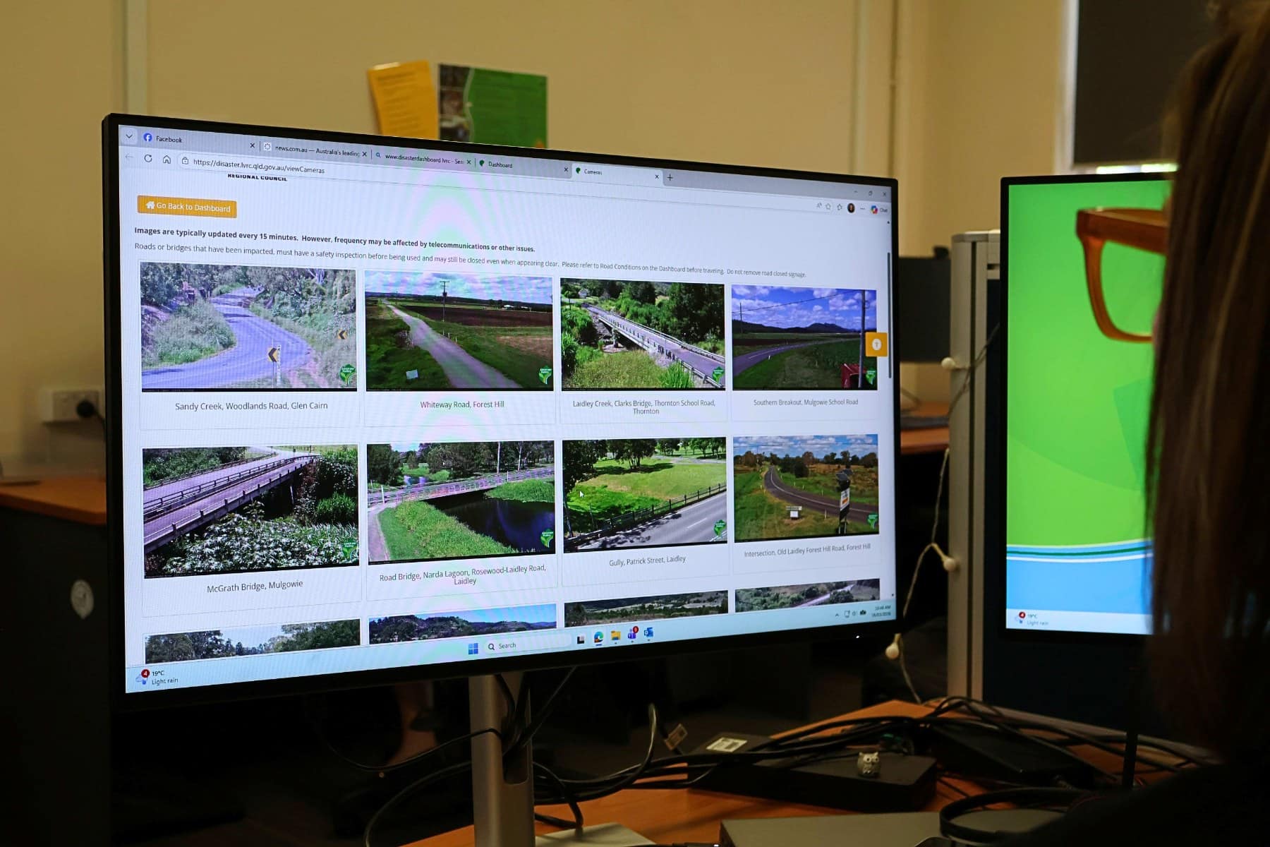
Council’s Disaster Management team has launched a brand-new Flood Cameras page on the Disaster Dashboard – further bolstering our preparedness in times of disaster.
Chair of the Local Disaster Management Group, Mayor Tanya Milligan said having Council’s suite of flood cameras easily accessible would further allow our community to stay informed.
“Making safe choices when severe weather hits is incredibly important.
“A common question we are asked when its flooding is: are the roads closed?”
“Easy access to our flood cameras gives residents, Council and emergency services extra eyes on the ground to help assess conditions quickly and make safer decisions.
“If you’re on a desktop, the new-look layout will make it easier to view multiple cameras at once, giving users a better picture of what’s happening across the region.
“Both desktop and mobile users will benefit from improved accessibility features, including options to adjust contrast, colour, and text size—making the text and images easier to view for those with vision impairments.
“And for extra convenience, there’s a quick link back to the Disaster Dashboard,” Mayor Milligan said.
An additional update will improve access to local river height information, with a new set of quick-access links added to the Rainfall and River Height button. This directs users straight to key river height gauges across the region and allows residents to go directly to each gauge’s live river-height plot, without needing to scroll through the Lower Brisbane gauge list on the Bureau’s website.
“These small changes will save time during severe weather and ensure the community can more easily monitor local conditions,” she said.
To view the changes, we urge the community to utilise Council’s Disaster Dashboard https://disaster.lvrc.qld.gov.au/.
The original camera layout can still be viewed on Council’s website www.lockyervalley.qld.gov.au/flood-cameras.
