Firefighting volunteers are monitoring a sprinkler system set up due to the February 4 bushfire getting into peat, which means it will produce smoke for some time.
The bushfire started near Chitna Rd in Neergabby, destroying two buildings and burning 995ha of land
The Department of Fire and Emergency Services (DFES) has a bushfire advice in place for people in an area bounded by Indian Ocean Dr to the west, Gingin Brook Rd to the north, Coppino Rd to the south and Military Rd to the east in Beermullah, Muckenburra, Neergabby, Wilbinga, Woodridge and Yeal.
DFES said as the fire was burning within organic soils it would produce smoke for the coming days.
This afternoon DFES said the cause of the bushfire was unknown but people should report any suspicious behaviour to Crime Stoppers on 1800 333 000.
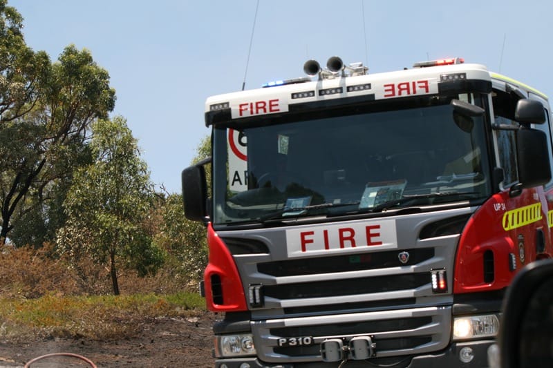
The fire – reported at 11.40am on February 4 – is being managed by the Shire of Gingin.
Minimising the impacts of peat smoke on the Department of Health’s website says firefighters, local rangers or environmental health officers may be responsible for monitoring smouldering peat fires to ensure that flare-ups (sudden transitions to flame combustion) are controlled and that air quality does not significantly degrade.
“Observations made during ongoing monitoring of peat fires help to inform the air quality assessment process and may indicate whether the DPAW or the Department of Health should be involved at various stages,’’ the page says.
“Peat has a high carbon content and is naturally porous.
“Therefore, once dry, peat areas are highly vulnerable to ignition and the resulting fires are almost impossible to extinguish without re-establishing natural groundwater levels.
“In such circumstances, natural heat sources such as lightning strikes, bushfires and even extreme daytime temperatures may initiate a peat fire.’’
“Human activities such as welding, machinery operation and uncontrolled backyard burn-off may also be sources of ignition.’’
Meanwhile, DFES has issued an all clear for people bound by Caladenia Rd to the north, Cowalla Rd to the east, Gingin Brook Rd to the south and Telephone Rd to the west in parts of Wanerie and Neergabby after a fire was reported at 2.51pm on February 18.
The fire started near Gingin Brook Rd in Neergabby.
Firefighters are patrolling the area.
The Shire of Gingin is managing the fire, which has burnt 30ha of land.
This article appeared on Yanchep News Online on 19 February 2023.
