
Central Highlands Regional Council, Media Release, 7 July 2022
Central Highlands Regional Council are continuing to zoom in on flood management in the Gemfields with the installation of a new flood and camera gauge – Graves Hill ALERT.
Located upstream of Graves Hill, the new automated river gauge includes an infrared camera which enables visibility of flood waters day and night.
In the coming months, visuals from the camera will feed directly to the Central Highlands Emergency Dashboard.
This installation brings the total number of flood camera monitors to five, with other cameras located at Sapphire, Rubyvale at the Gemfields, and further south at Panorama Creek (Dawson Highway) and Comet River Overflow (Carnarvon Highway).
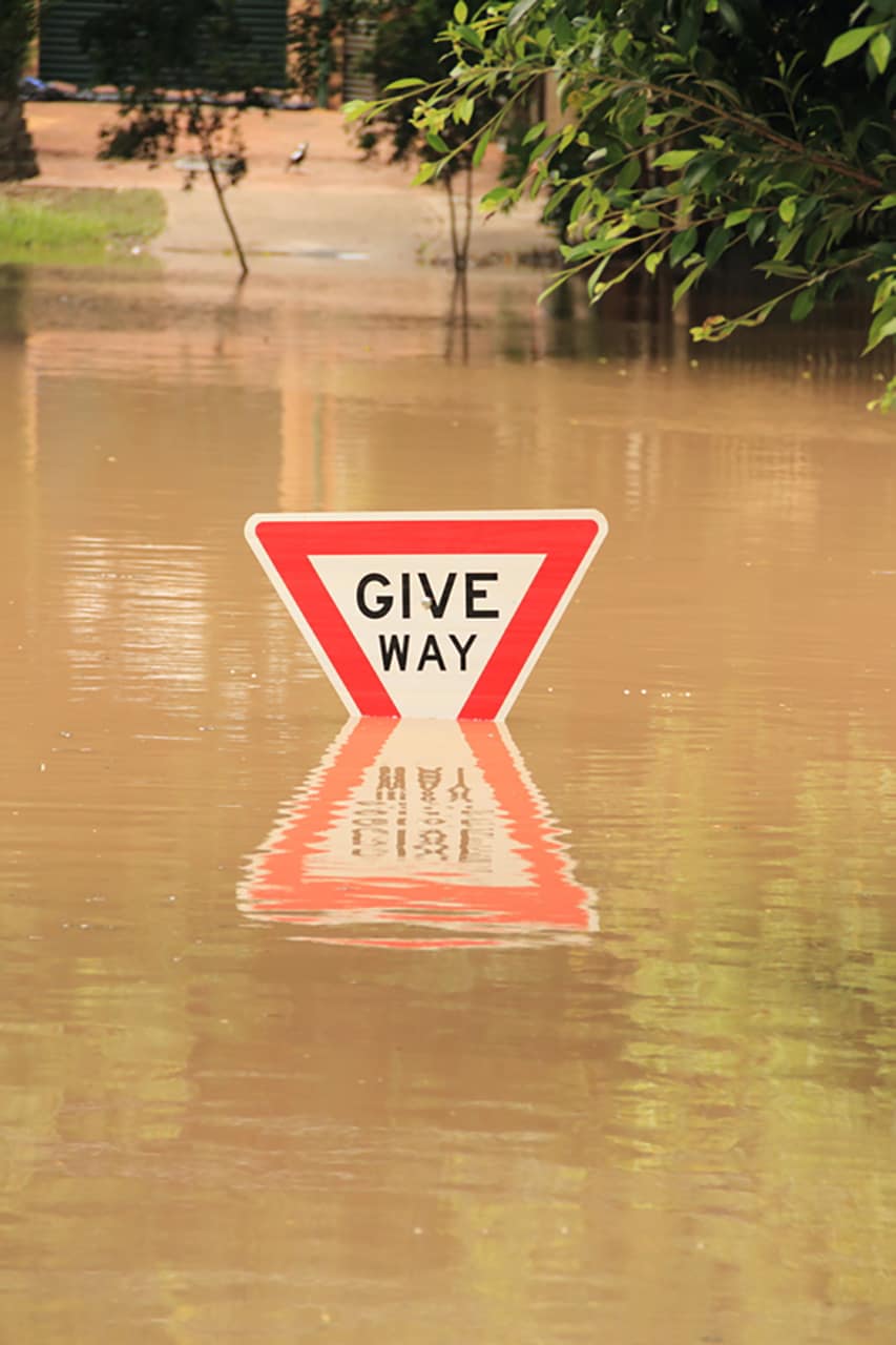
These cameras compliment the normal river height recording instruments, from which flood height data&publish to the Bureau of Meteorology website.
‘The flood cameras will greatly enhance council and the community’s visibility during rain events, helping to create a safer and more resilient community.’
‘The ability to see what is happening during a flood event will allow the Local Government Disaster Group to make precise and quick decisions,’ said General Manager Communities, John McDougall.
‘Next steps for flood management in the Gemfields is completing the evacuation planning documentation.’
‘Once completed the Central Highlands Local Disaster Management Group and Bureau of Meteorology will be well placed to provide more accurate advice for future weather events.’
For more information on disaster management in the Central Highlands visit http://beprepared.chrc.qld.gov.au/.
