
Exploration and Gold Mining 1824-1969
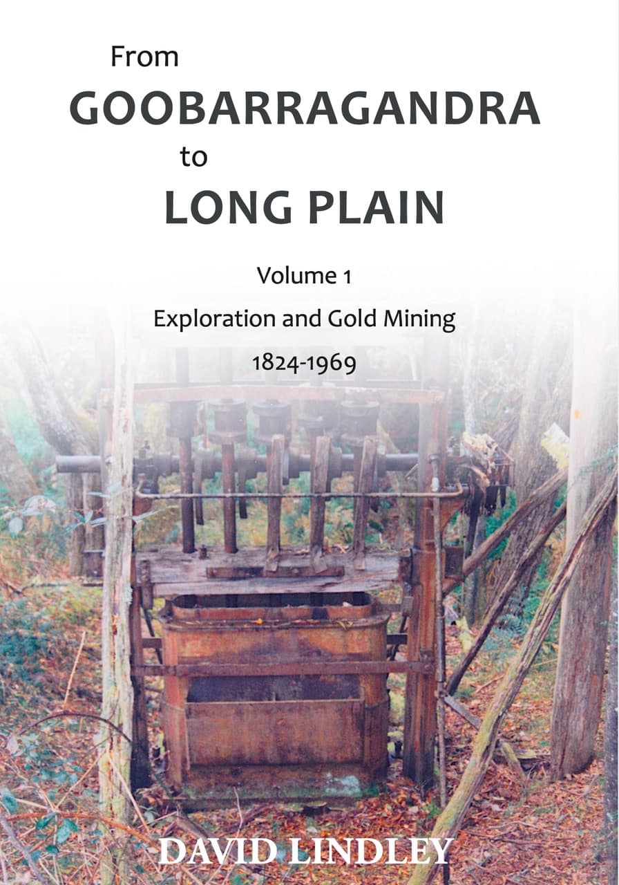
Author: Ian David Lindley
Publisher: Stringybark Publishing, PO Box 464, Hall, ACT 2618 Australia
Distributor: Plesyumi
ISBN: 978-0-6488888-6-4
First published: May 2021
Reprinted: August 2021
This book documents 146 years of European activity in the northern Snowy Mountains. The study area is roughly bounded to the southwest by the Snowy Mountains Highway between Blowering and Rules Point; the Long Plain-Brindabella Road to the east; and the Tumut-Brindabella-Canberra Road to the north. It is mostly wilderness, part of a network of management units designated throughout the Kosciuszko National Park by the New South Wales National Parks and Wildlife Service.
The book is replete with excellent maps and very helpful photographs which place the discussion into a context, enabling the reader to visualise the descriptions clearly. Detailed Endnotes to each chapter provide references to sources.
Part 1 : European Exploration
Chapter 1
Hume and Hovell expedition in the Goobarragandra-Tumut district, October – November 1824
Previous understandings of the route of the explorers have been updated following recent discoveries of relevant newspaper articles and local knowledge. The route of the descent of Hume and Hovell’s expedition into the Goobarragandra Valley on 31 October 1824 has always been debated. The author discusses this expedition in some detail.
Reference is made to the sheer scale of such expeditions – men, cattle, carts, carrier pigeons! A massive operation planned to be away for months at a time – and not without its perils – including attacks from local Aboriginals. The author’s knowledge of geology assists him in determining the likely route of the expedition.
Chapter 2
George Bennett visits the Bogong Mountains December 1832
George Bennett was born in Plymouth in 1804. After two trips to Australia, in 1834, Bennett published a book entitled Wanderings in New South Wales, Batavia, Pedir Coast, Singapore, and China, being the journal of a naturalist in these countries during 1832-4. Apart from detailed descriptions and naming of areas, Bennett provided the first authentic account of aboriginal feasting on the small brown moth called Bugong or Bogong by the Aborigines. Yes, those are the moths which ‘thump’ on the windows of Southern Tablelands’ windows in summer! The author provides us with a detailed description of Bennett’s explorations in the region of the Tumut River. The towns of Yass and Jugiong feature. Even at this very early stage of development, the number of ‘runs’ was significant demonstrating just how quickly the Europeans were moving into the wild areas. It is interesting to note that Bennett included aboriginals in his party. The bogong moths were in abundance for their summer breeding season. Bennett caught a glimpse also of what he called the ‘Snow Mountains’. Bennett, a doctor, later settled in Sydney, where he remained until the end of his long and successful life on 29 September 1893, aged 89.
Chapter 3
Granville Stapylton explores the Tumut and Goodradigbee Rivers 1833
Granville William Chetwynd-Stapylton was born in England in 1800. Stapylton arrived in Sydney on 12 May 1829.6 and joined the survey of New South Wales under Surveyor General Major Thomas L. Mitchell. Stapylton was ordered by Mitchell to explore the Murrumbidgee below Yass and also to explore the Tumut River. This was at the same time as Bennett. Stapylton participated in further explorations described by the author including to the Darling River and in the Moreton Bay district. Stapylton losing his life when his party was attacked by aborigines near Mount Lyndsay.
Part 2 : Prospecting, Mining and Geological Mapping for the Snowy Mountains Authority
Chapter 4
The golden stream: Emu Creek diggings, Golden Dollar Mine and other workings along the upper Goobarragandra River
The Goobarragandra diggings, which got underway around mid 1855 with around 150 prospectors, were described as “probably one of the richest spots in the colony”. The author provides detailed information on various prospecting parties and the personalities involved covering the period from 1855 through to the 1950s. Areas discussed include not only Goobarragandra but also Emu Creek, Dead Horse Creek, Roast Beef Creek, Mac’s Crossing and Carter’s Creek. Floods and droughts provide their usual backdrop to activities in the bush. As always, the text is accompanied by detailed maps and relevant photographs.
Chapter 5
El Dorado: Murphy’s reef and Jumper’s Creek reef, upper Goobarragandra Valley
The chapter looks at another section commencing in 1869 with John McNamara’s discovery of a quartz vein rubble with visible gold on the northeastern slopes of Nimbo Mountain. The onset of a rush to this new ‘El Dorado’ led to disputes between prospectors described in detail. High hopes could often end in disappointments, such as that experienced at Murphy’s Reef.
Chapter 6
The famous Broken-cart reef: Cycles of boom and bust
Gold was discovered in the headwaters of Broken Cart Creek in 1857. A rush followed in 1860 as the diggings at Kiandra were abandoned. A further rush took place in 1869. The Broken Cart township was large enough to be declared a polling station during the December 1870 election of a Member for Goldfields South Electoral District. However, the bust was soon to come and the years 1871 to 1925 saw the gradual decline of Broken Cart. There was a brief revival between 1925 and 1936.
Chapter 7
The Horse-shoe diggings and the Pigeon Square Creek water race
On 25 October 1856 an announcement was made of the discovery of gold at Horse-shoe, a remote locality in the Goobarragandra headwaters following numerous discoveries along the Goobarragandra River. Prospecting commenced around 1861 and continued through until 1936.
Chapter 8
Goobarragandra Gold Mine: An account of mine development by Goobarragandra Gold Mining Co. based on the correspondence of Company Manager H.E.A. Miller and Mine Manager W.D. Stokes 1915-1937
The most significant mineral find on the Goobarragandra Gold-Field was the discovery of the quartz reefs of the Goobarragandra Gold Mine. However, despite a long history of activity at the mine very little gold was actually produced. The author details the history of the field from 1915 to 1937. The author draws upon correspondence of Company Manager H.E.A. Miller and Mine Manager W.D. Stokes.
Chapter 9
Sideshows: Leases on Feints Range and the Right Hand Branch of the Goobarragandra River
There is evidence of Chinese diggings in the Right Hand Branch area in the 1860s and 1870s. A number of parties, including the regularly appearing Stokes brothers, turned their attention to prospecting Feints Range and the Right Hand Branch between 1915 and 1931.
Chapter 10
Gold mining at Yorkey’s diggings, Long Plain
Yorkey’s diggings consists of scattered surface workings aligned north-northeast along an 800 m interval west of the Long Plain Road, 3.5-4 km north of Rules Point. The diggings include areas worked between c.1875 and 1942 by prospectors including Joseph York, Tom Williams, William and Tom Taylor, Bill Harris, Herb Wilkinson, Bill Jemmett and Gordon “Mac” McDonald.
Chapter 11
Pether’s Lode, Jounama Creek, Talbingo
Pether’s Lode is a 2,000 m long north-northwest striking copper mineralised zone located on the southern end of Malabar Ridge in the rugged Jounama Valley. It is likely that Henry (Harry) Pether discovered the lode in early 1907. The lode contains copper and some silver-lead ore associated with the Jounama Creek limestones. There was activity in the area between 1907 and 1947. Copper smelters were constructed.
Chapter 12
Mulholland’s Men: Pioneering geologists and the mapping of the northern Snowy Mountains for the Snowy River Investigation Committee and Snowy Mountains Hydroelectric Authority
The Bogong Peaks and Goobarragandra Wilderness Areas contain several of the few river catchments in the Kosciuszko National Park that have not been affected by Snowy Scheme hydro-electric development. However, despite the few physical impacts associated with the Scheme, geologists of the Geological Survey of New South Wales (GSNSW or the “Survey”) mapped the region in conjunction with a programme of reconnaissance geological mapping of the Snowy Mountains area completed between 1949 and 1958. This mapping was at the request of the Snowy Mountains Hydro-electric Authority. The author describes carefully these mapping activities. This section includes photographs of original handwritten notes and sketches made by the geologists. The author describes also the politics behind getting the Snowy Mountain scheme underway and the establishment of the Snowy Mountains Hydro-electric Authority (SMHEA) with Bill Hudson as its first employee who then appointed Daniel George Moye Head of the Engineering Geology Branch, Scientific Services Division.
Conclusion
In addition to the meticulous work throughout and the detailed listing of sources, the book includes a list of abbreviations, a glossary, a people index, and a subject index.
Overall, a very impressive piece of work from both historical and scientific perspectives.
Strongly recommended – not only for those interested in the history of the Snowy region and the history of mining but also for geologists and inhabitants of southern New South Wales and northern Victoria keen to learn more about the territory in which they live.
