Suzie Christensen, Lord Howe Island Board, The Lord Howe Island Signal
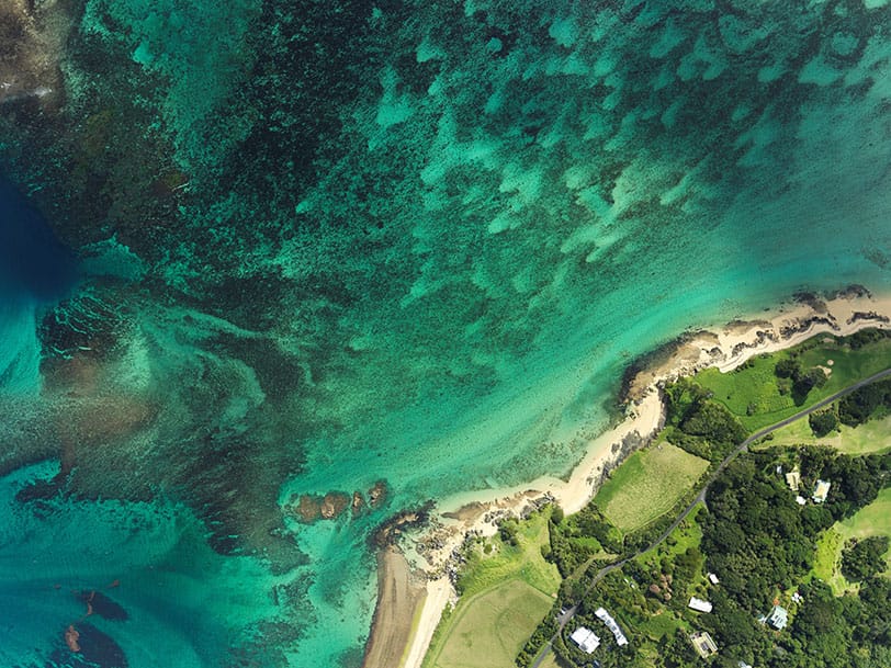
The NSW Department of Primary Industries (NSW DPI) and LHIB have partnered up to capture new high-resolution aerial imagery and terrain mapping of Lord Howe Island and Ball’s Pyramid. Aerial imagery forms the basis of the LHIB’s environmental field operations, helping us protect biodiversity, manage weeds, and implement effective biosecurity.
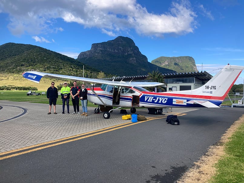
The project has been led by spatial analytic company Anditi, who were awarded the contract after their quote was deemed successful through the NSW Spatial Services ReSSE Scheme. Aerial imagery and terrain information was captured between Sunday 17th June and Monday 19th June. It will now be processed by Anditi, with the final product completed by mid-July.
What will the new imagery and mapping be used for?
Aerial imagery of the lagoon was captured at low tide to allow mapping of marine habitats. This will provide an updated baseline to help NSW DPI understand changes in coral and macroalgae distribution and health.
Terrain information was captured using ‘LiDAR technology’ (Light Detection and Ranging). LiDAR functions similarly to sonar on a boat but uses light pulses instead of sound waves to measure distances and generate precise elevation maps.
This information will shine a light on the impacts of environmental change, such as rainfall in the mountains or sand movement on shorelines in the lagoon. LiDAR is also vital in understanding and mitigating environmental risks, from flooding and landslides to bushfires and tsunamis.
Updated imagery and high-resolution LiDAR will also be critical for planning and managing infrastructure projects, particularly given the major infrastructure changes since the last imaging in 2011.
This article appeared in The Lord Howe Island Signal, 30 June 2023.
